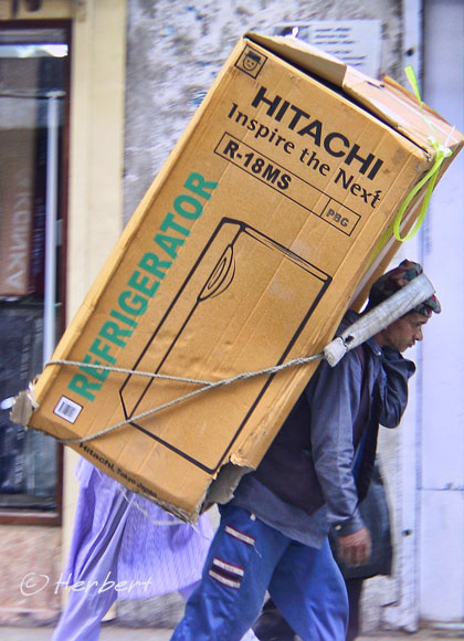
Location: A street stall in Kathmandu, Nepal (27°42'26.99"N 85°18'43.60"E)
Date: 7 May 2003; 3.35pm
Camera: Canon G1


Location: A street stall in Kathmandu, Nepal (27°42'26.99"N 85°18'43.60"E)
Date: 7 May 2003; 3.35pm
Camera: Canon G1

Location: Cemoro Lawang, Java, Indonesia (7° 55' 22" S, 112° 57' 52" E)
Date: 15 July 2008; 6.45pm
Camera: Canon 400D with Sigma 17-70/f2.8-4.5
Cemoro Lawang is a small town at the rim of the Bromo caldera. Its location makes it the most convenient and sought-after base for visiting the Bromo-Tengger-Semeru National Park. As a result, tourism is the major economic activity. However before tourism became a major money-spinner, farming was the main productive activity in this town and the surrounding area. The land around here is extremely fertile, benefiting from the volcanic ash of the few volcanoes in the vicinity. All the farms, which are small family-plots grow vegetables. As is the norm in most farming and rural communities around the world, the people here are super-friendly and hospitable.

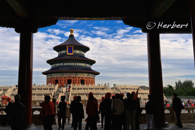
Location: TianTan, Beijing, China(39° 52′ 56.07″ N, 116° 24′ 23.29″ E)
Date: 18 October 2010, 9.50am
Camera: Canon 500D with Sigma 17-70/f2.8-4.5
To most people, the Great Wall of China with the most accessible portion situated on the outskirts of Beijing, is the most recognisable icon of China. However as far as Beijing is concerned, its icon is actually the TianTan or loosely translated as the Temple of Heaven; more accurately Altar of Heaven. This is where the emperors of the Ming and Qing Dynasties came to make offerings and pray for bountiful harvests every year. In the psyche of the Chinese, TianTan held another significance as it represented a symbol of an era of shame when China was forced into signing away sovereignties in unequal treaties with the West under the barrel of canons. The temple complex was occupied and used as a command centre by the Eight Nation Alliance during the Boxer Rebellion resulting in serious desecration and damage to the temple, buildings and gardens. Many temple artefacts were also looted by the Alliance soldiers. the temple and buildings were constructed during the Ming Dynasty but underwent large-scale renovation during the Qing Dynasty. As a result, Qing decorations and adornments predominates in the temple. Today TianTan is a major tourist destination.

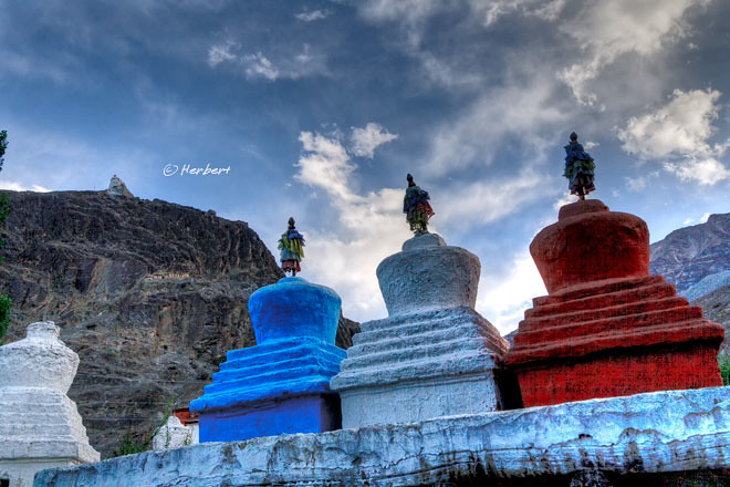
Location: Hundar, Ladakh, India (34°37'12.63"N 77°25'51.76"E)
Date: 16 August 2009 5.15pm
Camera: Canon 400D with Sigma 17-70/f2.8-4.5
Hundar is as close as one can gets to the disputed Line of Control between India and Pakistan in India Kashmir. Pakistan is so close, it is virtually just across a bridge in the northern end of the small village. As such this place in the Nubra Valley has a heavy military presence. Hundar is popular and well-known to some extent as the location of the world’s highest altitude sand dunes, at approximately 3,120m. The sand dunes are not that spectacular but attracts a lot of tourists on packages. There are more interesting wanderings to be had at the village proper. Stupas and gompas, old and new dotted the village, some prayer wheels and fabulous views across part of the Nubra Valley. As in most parts of Ladakh, getting to the destination is the adventure and the fun part. Independent travellers have no chance of coming here without chartering (sharing better) a vehicle with others.