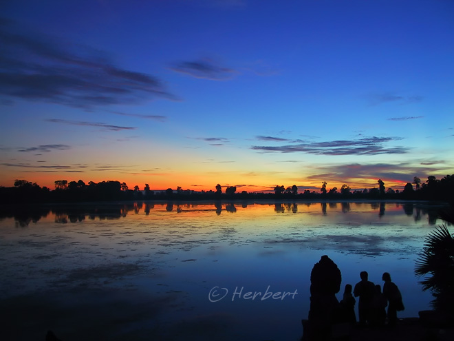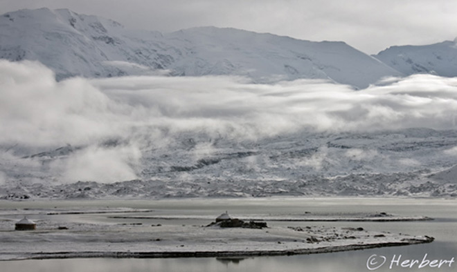
Location: Dal Lake, Srinagar, Kashmir, India (34° 5′ 24″ N, 74° 47′ 24″ E)
Date: 17 August 2009 5.50pm
Camera: Canon 400D with Sigma 17-70/f2.8-4.5
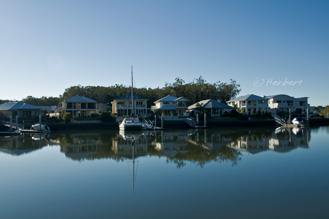
Srinagar, the capital of the Indian state of Jammu & Kashmir had been touted as a very beautiful place, a city with a huge lake, Dal Lake, in the centre and flanked by a couple of mountain ranges. The lake is, in turn flanked by slumbering and beautiful houseboats; staying in one is supposedly a fabulous experience. I came with expectations set by reading such accolades over the years and my verdict is mixed.
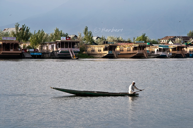
I visited Srinagar in the summer (mid-August) when the mountains are a little bare and green-brown in most places. Hence, I could not experience the so-called mountain beauty of the lake backed by snowy mountain ranges. The lake is pleasant but is really not that nice, if one look closer. It is pretty with good reflections but that is because it is rather shallow, stale, blackish and unmoving. In fact, in many places, it is filled with weeds- workers in boats manually de-weed parts of the lake every morning. Certain parts of the lake are actually smelly, stink of the human and other wastes that are either discharged into the lakes via canals or directly from houseboats or dwellings along its shores. In short, it is polluted.
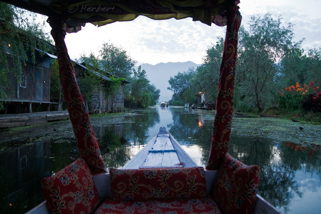
Staying in a houseboat is touted as the ultimate Kashmiri experience. There are about 1,800 houseboats in total on Dal Lake and the smaller adjoining Nagin Lake. These houseboats range from fabulously decorated luxury options to somewhat ordinary ones. The prices range also varies according to the state of the boat, the meals offered etc but prices would start from 500 INS per night excluding meals in the summer high season. Apparently, in the usual summer high season, all the houseboats and most of the hotels in Srinagar are fully packed by mainly Indian tourists (this summer was not that great for tourism after mainly Indian tourists shunned Srinagar due to the Amarnath Nagar episode last year). Personally, I did not quite enjoy my houseboat experience:
-
inconvenient to get out-and-about onto land, having to have someone to row me to shore
-
restricted to meals provided by the houseboat or endure the trouble of getting to shore
-
being captive to the occasional souvenir sellers, and
-
just not spending enough time on the boat to make it worthwhile.
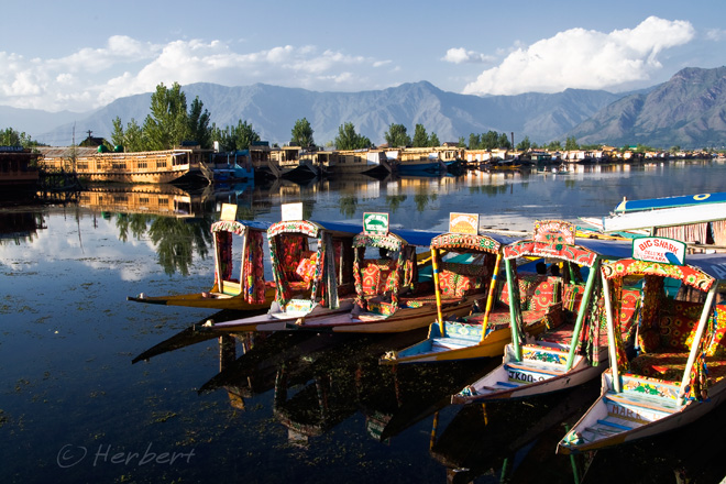
Despite all the above, the lake itself can be quite photogenic especially with the colourful shikaras (Kashmiri gondolas) plying the lake. All the shikara owners belong to an association and there is an official rate for renting the shikaras. The rate is posted on signboards along the shore. The official rate (2009) is 200 INR per hour; one can easily negotiate a rate of 100-150 INR per hour.
(next post on Srinagar- the floating market)
Technorati Tags: Srinagar,Kashmir,Lake Dal,Jammu & Kashmir
Read More...
Summary only...